
Piceance Basin Mineral Rights
Garfield and Rio Blanco county files come to us with a lot of stacked, tight-gas history behind them, and pricing starts with figuring out exactly which sands your interest is tied to.
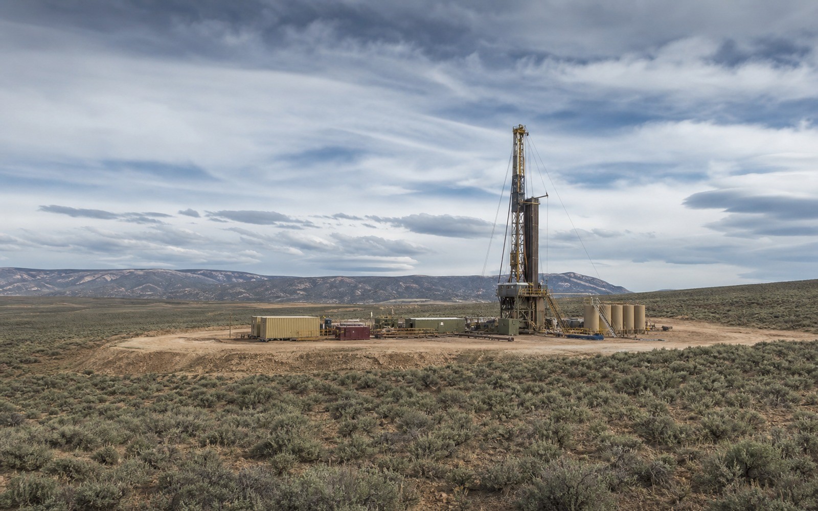
Piceance Basin activity centers on Garfield and Rio Blanco counties in western Colorado, where operators have developed tight gas sands in the Mesaverde Group for decades, first through vertical wells and later with denser pad drilling. This is one of the more geologically layered basins we underwrite, with multiple productive sand intervals stacked within a single spacing unit, which means the specific wellbore or wellbores tied to your interest matter as much as the surface location.
Development activity has slowed from its late-2000s peak as operators shifted capital elsewhere, so most files we see today are legacy interests tied to wells drilled years or decades ago rather than fresh development.
Why Mesaverde tight gas is a different underwriting problem
Tight gas sands like the Mesaverde produce at lower initial rates than shale wells but can sustain production over a long period, and in a densely drilled unit, the productive interval feeding your royalty check may be one of several stacked zones commingled or produced separately depending on how the well was completed. We ask the operator's most recent statement to specify well and formation where possible, because commingled production across zones changes how we read the decline.
Because so much of this basin's activity happened years ago, we lean on longer trailing histories, often five years or more, to get a stable read on where the remaining decline is heading rather than reacting to a single recent quarter.
The federal checkerboard in western Colorado
Much of the Piceance sits within a mix of federal, state, and fee mineral ownership inherited from historic land grant and homestead patterns, and it is common for a single section to include federal minerals administered by the BLM alongside privately owned fee tracts. We confirm which category your interest falls into early, since federal leasing terms, royalty rates, and transfer mechanics differ from a privately negotiated fee lease.
Fee mineral owners in this basin often trace their interest back to a ranching or homestead family that retained minerals when the surface was sold or developed, and those chains of title can run through several generations before reaching a current owner. It's not unusual for a single tract to have been split among descendants multiple times over, so that a current owner's actual decimal interest is a small fraction of what the original homesteader once held outright.
Easy versus hard Piceance files
Easy: a fee mineral interest tied to a single, clearly identified well or unit with a current division order and several years of consistent statements.
Harder: interests where production has been commingled across multiple Mesaverde zones over the well's life, or where a legacy lease from the basin's earlier vertical-well era was later folded into a newer horizontal or infill unit. We reconstruct that history from Colorado Energy and Carbon Management Commission orders rather than asking you to explain it.
Garfield and Rio Blanco county records
Both counties maintain solid modern recording systems, but older instruments from the basin's earlier development decades sometimes use legal descriptions tied to original homestead patents that require cross-referencing against more recent unitization filings. We run that cross-reference as part of our standard title review before extending an offer.
It's also worth checking whether any prior owner in your chain of title carved out a non-participating royalty or partial mineral conveyance separate from the tract as a whole, which happens more often in this basin than sellers expect given how many times acreage here has changed hands since the original homestead era. We confirm the full picture before quoting a number rather than pricing off an assumed full interest.
Questions Owners Ask the Acquisition Desk
My statement doesn't say which formation my royalty comes from. Is that a problem?
It's common in this basin where production from several Mesaverde zones can be commingled. We work with the operator's records to reconstruct the picture rather than requiring you to track it down yourself.
Is my Piceance interest federal or fee mineral?
We determine that as part of underwriting. It affects both the royalty terms that apply and, if fee, whether you also have executive rights we'd be acquiring alongside the royalty.
Why do you ask for several years of statements instead of just the last year?
Much of this basin's development happened years ago, so a longer trailing history gives a more stable picture of where the well's decline is now versus reacting to one unusual quarter.
Do you buy minerals with no current production in this basin?
We do consider them, though pricing on undeveloped Piceance minerals depends heavily on nearby permitting activity, which has been limited in recent years compared to the basin's peak.
How does a homestead-era mineral severance affect a sale today?
It mainly affects the title work, since we have to trace the chain of ownership back through the original severance. It doesn't usually prevent a sale, it just requires a more careful title review.
Want a range built from your statements, acreage, lease, activity, and ownership records?
Send the county and state, owner name, operator or payor, recent statement, deed reference, lease, division order, probate record, or written offer you have.